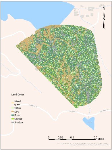
From the Skies Above
We spent a week at USC’s Wrigley Marine Science Center near Two Harbors on Catalina Island, CA. Over the course of a week, we defined an area of interest with diverse vegetation and collected imagery with a high resolution UAV. As a second datasource, we downloaded NAIP data from the previous year to generate a normalized difference vegetation index (NDVI). Ground truth data was generated by walking the area of interest on foot and cataloging vegetation. Locations were recorded with Archer 100 GNSS receivers. Esri ArcGIS Pro was used to train models using semi-unsupervised learning techniques. Below is a screenshot of one of our experiments.


